Travel
Winter Views from Mt. Hiei
Challenge yourself to a snowy climb on one of Kyoto’s biggest and most historic mountains.
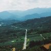
Straddling the border of Kyoto and Shiga prefectures, Hiei-zan, or Mt. Hiei, was once thought of as the home of Shinto gods and demons. Later, Buddhist monks began traversing the paths of Hiei-zan and many call the mountain home, having become the stuff of legends themselves. Follow in their footsteps along snowy wilderness paths to experience some of the best winter views in Kansai.
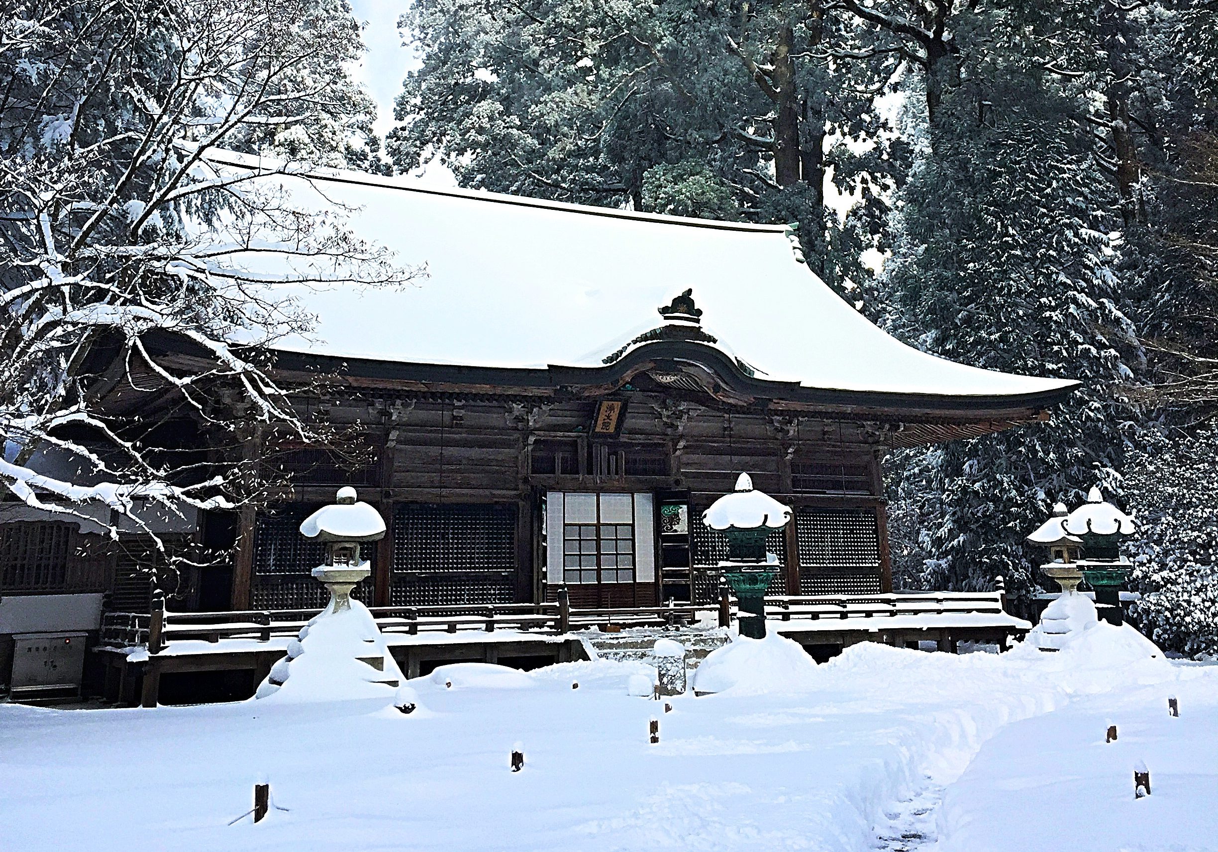
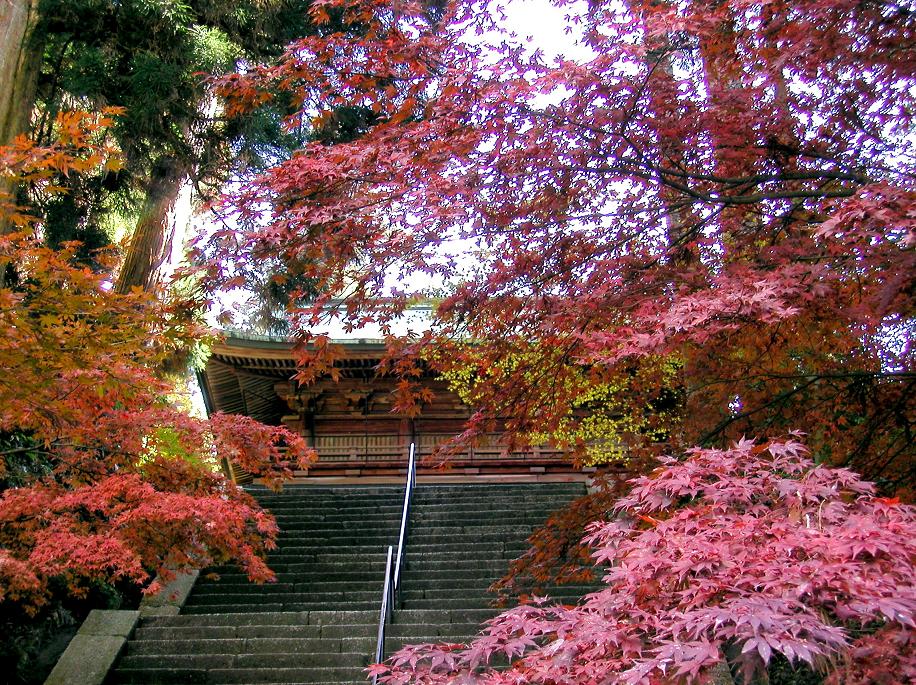
The jewel of the mountain is Enryakuji, which is a large temple complex near the summit. Opened in 788, it is the head temple of the Tendai-shu sect of Buddhism. Visiting the vast grounds is a delightful and peaceful experience. The two most beautiful elements of Enryakuji are Tenporindo (Shakado), which is the main temple building, and Jodoin, which is a shrine burial ground and is said to be the most sacred spot on Mt. Hiei. Tenporindo is the oldest structure of Enryakuji and is flanked by tremendous pine trees. Enryakuji is also home of the Marathon Monks of Mt. Hiei, a select group of monks who have embarked on a journey called Kaihogyo. This is the practice of walking or running long distances every day for 100 consecutive days as a means of achieving spiritual enlightenment. Very few monks have achieved this feat of endurance.
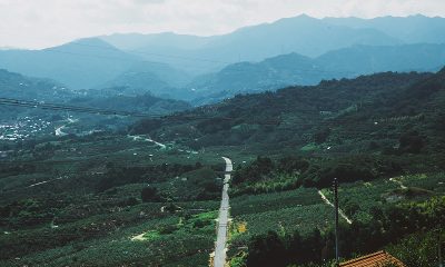
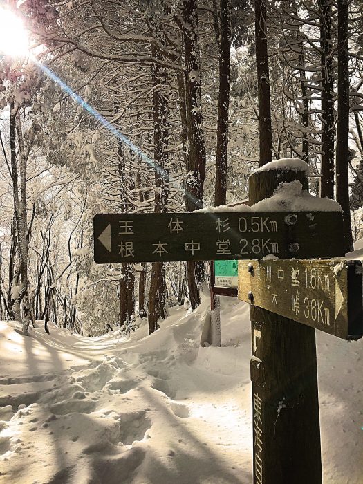
There are a few routes going up and down Mt. Hiei, but for winter climbing, it is recommended to take the most popular route, which is a section of the Kyoto Trail, and as the days are quite short in the winter, plan to leave in the early morning. Maps for this trail are easy to obtain and the path is well signposted. Perhaps, the ideal starting point of this climb is Ginkakuji Temple (the Silver Temple). The trail can be picked up near the front gate of the temple at signpost #51, and after a few hundred meters of city walking, you can access the trailhead into the forested area behind a hospital parking lot at signpost #54 and #55. All of the signposts on this trail are numbered and have mini maps to help you make sure you’re on the right track. The signposts are brown and about 1.5 meters tall with a square white map on top. After entering the forested trail, the first stretch of the hike runs along a drainage stream and there will be a trickle of water that can make things icy and wet. The trail splits into two at signpost #57-1 but both options converge at signpost #60. The climb continues along the trail and you will eventually reach a beautiful large stone torii gate at a trail and road junction, at this point the trail will descend briefly, but fairly steeply and you will cross a stream before your climb continues. The top half of Mt. Hiei is covered in large evergreen trees and the rich greenery and thick brown tree trunks are uniquely beautiful rising out of the mountain’s snowy floor.
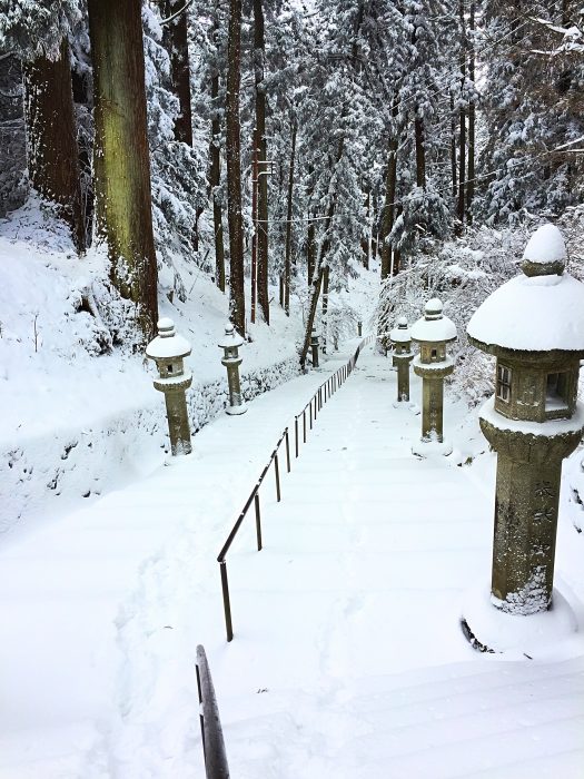
The trail will eventually reach Cable Hiei Station where it will switch from the Higashiyama Course to the Kitayama East Course. At this point, you will have covered about 7km, and gained around 600 meters in elevation. The only thing that will change from one trail to the next is that the signpost numbers will start again at number 1. There are some nice views to be had from this point, and as the trail continues toward Enryakuji, the wide panoramic vistas get even more impressive. After descending a magnificent set of stone stairs, you will reach Jodoin and then a little further down the trail, the grand hall of Tenporindo. When the snow comes, you will likely be one of only a few visitors as the temperatures are quite chilly and the winds can pick up. Remember to dress for the weather; it will be colder and windier at the top of the mountain.
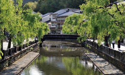
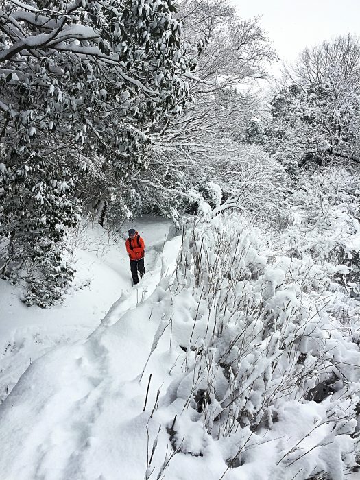
At this point, there is a decision to make. There are three options: The first is to take the easy way down. Find a bus or use the cable car. The second is to turn around and retrace your steps back down the mountain. Option number three is for those with a sense of adventure. Continue along the trail in search of the quaint town of Ohara, where you can catch a bus back to Kyoto city. The distance from the top of Mt. Hiei to the country town of Ohara is 10 km. If you choose this option, consider that this part of the trail is less frequented by hikers as there are two difficult sections. Both the climb to Mt. Yokotakayama (signpost #13) and the climb to Mt. Mizuiyama (signpost #16-1) feature steep sections that will leave you pulling yourself uphill with tree branches and roots, especially when there is snow. Although crampons and snowshoes and other technical gear is not needed for this section, good physical fitness, adequate clothing (gloves are a must), and proper footwear will keep you safe and warm during the challenging parts. If you do make it to Ohara, there is a wonderful shop on the main street called Shino famous for mochi (pounded rice) and vegetable dressing. They also have seasonal vegetables and other fresh and pickled items. It is located on Route 367 and the bus stop to take you back to Kyoto is about 200 meters from the shop. The total trek from Ginkakuji to Ohara is 17km and is possible to cover in a day, provided you have good fitness, some hiking experience, and keep a relatively good pace.
Winter Hiking Safety Precautions
•Let someone know your hiking plan, including route, times, distances, and other information.
•Wear warm clothes, hats, gloves, and adequate footwear and pack extra clothing.
•Headlamps, proper maps, a GPS device, extra food kept in inside pockets and warm drinks in a thermos are all excellent ways to keep you warm and safe.
•Start early in the day and plan for early nightfall. Sunset in Kyoto in December and January is about 4:45 p.m.